Showing posts with label Hurricane Katrina. Show all posts

Monday, August 30, 2021

Grand Isle, Louisiana, before Hurricane Ida

Grand Isle, Louisiana (from Google maps)

We will temporarily interrupt the trek through the Kingdon of Lo (Mustang, Nepal) for a few photographs of Grand Isle, Louisiana, in a cheerful time before it was torn up and inundated by Hurricane Ida. According to the Weather Channel (Aug. 29, 2021), "Ida officially made landfall at 11:55 a.m. CDT near Port Fourchon, Louisiana, about 18 miles southwest of Grand Isle and about 60 miles south of New Orleans. Maximum sustained winds were 150 mph, making Ida a high-end Category 4." Any category 4 hurricane in the northern Gulf of Mexico is serious trouble because of the shallow continental shelf. This lets lets the winds push a surge of water ahead of the storm. Louisiana is so flat, the bayss and marshy islands are inundated. 

Grand Isle is the only inhabited barrier island along the southern Louisiana coast. The island is at the mouth of Barataria Bay, where it merges into the Gulf of Mexico. The island has been repeatedly hit by hurricanes during its era of recorded history, when storm surges rushed over the most of the island and destroyed building. I will not try to list the many storms here. 

Plantations existed on Grand Isle before the Civil War. The war effectively ended agricultural activity. Developers began to advertise the island as a resort in the 1870s, and steamship service soon brought vacationers from New Orleans. Meyer-Arendt (1985) in the Annals of Tourism Research (Vol. 12.pp.449-465) provides a readable and interesting summary of the island's development over the last two centuries. 

Grand Isle did have a short-lived gilded age. The New Orleans, Fort Jackson and Grand Isle Railroad carried sophisticated vacationers most of the way to the island. But the opulent Ocean Club hotel, built in 1891-1892, only survived one year before an immense hurricane with 175 mph winds overwashed the island and destroyed most of the buildings. The storm killed an estimated 1,600 along the Gulf Coast, and Grand Isle's gilded age came to an abrupt and terminal end. 

1953 aerial photograph of Grand Isle near Coulon Rigaud Lane (US Army Corps of Engineers Beach Erosion Board archives, Vicksburg, MS)

Grand Isle has been an erosion problem for the State of Louisiana and the US Army Corps of Engineers for decades. The Beach Erosion Board conducted one of its earliest studies of the island's erosion problem in 1937. The Corps also presented a Beach Erosion Control Study to Congress in 1955 (84/I H. Doc. 132-). The 1953 photograph above was one of the aerial photographs used for this study. Many other studies have followed. Mid-century, some agency built cross-shore groins to try to stabilize the ocean shore (see the 1953 photograph). These were rebuilt numerous times. Since then, the Corps of Engineers has built segmented detached (meaning offshore) breakwaters along the entire Gulf side of the island. They have added beach sand from offshore sand deposits numerous times. 

We do not yet know what Hurricane Ida has destroyed on Grand Isle. Late August 31, the Jefferson Parish president reported that 100 percent of the properties suffered damage. 

Long-term, the bigger issue might be relative sea level. The southern Louisiana coast suffers from the most extreme relative sea level rise in the United States (meaning the combination of water elevation rise and land sinking). Will Grand Isle be viable 10, 20, or 50 years from now?

By the way, there is a terrible 2019 movie titled Grand Isle, starring Nicholas Cage.


Morning at the Blue Dolphin Inn & Cottages is a sunny delight (in good weather).


Lunch or dinner at the Starfish Restaurant, with an old-fashioned ambience and friendly service. Chairs and tables from the 1960s? Very nice. But this building is at ground level and vulnerable. 

Cottage on Medical Lane, Grand Isle (Hasselblad 50mm ƒ/4 Distagon lens)
Cottage on Chighizola Avenue
Cottage on Nacari Lane

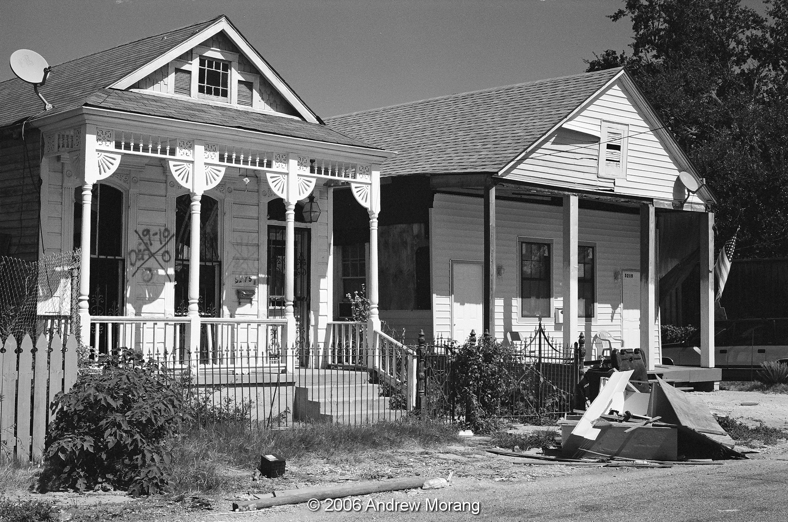
On any barrier island, look for the Oak forest and you know you are in the most stable part of the island, the part that has withstood erosion and serious overwashing for decades or centuries. Only a small section of Grand Isle shows this stability, and only a few of the early 20th century cottages remain. Most of the other houses are newer and raised on pilings. You also see mobile homes up on piles, many rather nasty. Even the Our Lady of the Isle Catholic Church is a modern structure up on concrete piles. 

Over the next few weeks, surveys and news reports will reveal the extent of damage from Ida. Rural Louisiana will be forgotten as the news concentrates on New Orleans, but people live and suffer in rural areas, too.

Long-term readers may remember some of my photographs of Hurricane Katrina damage in New Orleans: 
Hurricane Katrina struck exactly 16 years ago. What an amazing coincidence. And recall, the botched federal response to Katrina's damage and flooding largely destroyed President Bush's presidency. War in Iraq was another factor.

Monday, October 12, 2015

Lower 9th Ward in Film - Hurricane Katrina 10-year anniversary

This is the fifth is a series of posts about the damage caused by Hurricane Katrina on August 29, 2005. The storm made landfall as a Category 3 hurricane at Bay St. Louis, Mississippi, with sustained winds of more than 125 mph. Because of a breach in the Industrial Canal, by 09:00 AM CDT, there was 6–8 feet of water in the Lower Ninth Ward of New Orleans. People had been warned to evacuate, but many did not heed the warnings or were unable to leave, requiring days of heroic rescue efforts by the National Guard and Coast Guard.
The paint marks on the buildings show where a rescue team inspected the house and recorded what they found or did not find.
I took these photographs in October of 2006 in the Holy Cross area of the Lower Ninth Ward. The historic cottages had been flooded, but the water drained out and most looked like the were reasonably intact. Sheetrock had to be cut out, but the cypress boards were fine.
These photographs are scanned from Kodak B+W film, exposed in a Leica M3 rangefinder camera with 35mm and 50mm Summicron lenses. The B+W film scans well and is fine grain - I need to use the current equivalent more often. I love film, especially black and white; it looks different than all-digital photographs.
By 2006, some residents had returned and a little activity was ongoing. I think the SnowBalls truck was operational.
Please click any of the photographs to enlarge them or use the search function to see earlier posts about Katrina damage.

Tuesday, October 6, 2015

Hurricane Katrina 10-year anniversary - return to the Lower Ninth Ward (New Orleans)

On the tenth anniversary of Hurricane Katrina, this the fourth in a series of articles showing some of the damage in New Orleans. 
In December of 2006, I returned to New Orleans with some out-of-town visitors. I took them to the Lower Ninth Ward, whose damage and general state of abandonment was still a common topic in the news media at the time.
Derbigny Street was still a mess. We found an abandoned Juke Joint with pool table and cassette tapes still in place.
On Reynes Street, an abandoned restaurant had not been cleared out. It was sad - this was once someone's business, probably their dream of making a better life for themselves and their family.
A church on Forstall Street had a plea for restoration.
Further west, in the Upper Ninth Ward, a traditional New Orleans cottage on Chatres Street was in poor condition. The roof had lost many of its asbestos shingles. Many of these asbestos roofs were installed in the 1910s and 1920s because the tiles were fireproof and much safer than wood shingles.
The French Quarter, which had not flooded, had plenty of tourists, and the cottages were decorated for the Christmas season.
Lafayette Cemetery, in the Garden District, is the oldest of the seven municipal cemeteries in New Orleans. The cemetery was first surveyed in 1832 and laid out with two center aisles in a cruciform (cross) pattern. Save Our Cemeteries is an organization dedicated to preserving and documenting the history of New Orleans' historic cemeteries.

All photographs taken with a compact Sony DSC-W7 digital camera (a very competent 7 megapixel camera).

Sunday, October 4, 2015

Hurricane Katrina 10-year anniversary: The Holy Cross District, New Orleans

The neighborhood of New Orleans east of the Industrial Canal and along the banks of the Mississippi River is known as the Holy Cross District, named for the historic Catholic school of the same name. This was a subdistrict of the Lower Ninth Ward. Further east or downstream along the Mississippi is the area known as Arabi. The Historic Districts Landmark Commission has an information page on Holy Cross. The photograph above shows the Industrial Canal in November 2006.
During Hurricane Katrina, the northern part of the Holy Cross subdistrict, the blocks near St. Claude Avenue, were inundated just as severely as the blocks in the Lower Ninth Ward north of St. Claude Avenue. But as you proceed south, the land level rises until it is above sea level near the Mississippi River levees.
This topographic change was reflected in the architecture. The houses in the north were mostly on slab foundations and were largely post-Hurricane Betsy vintage (1965). But closer to the river, many houses were historic late-1800s wood cottages with typical elegant New Orleans architectural details. These had survived for a century because, during floods, they had either not been inundated or had suffered only minor water damage. Consider the building style: a slab house is right on the ground and doomed if it floods. A post-and-beam house is already two, three, or more feet off the ground, and if it floods, as soon as the water recedes, the water pours out through the floor boards. Most of these older houses in this area were made of cypress planks because the early builders knew that cypress resisted water and rot.
Some of these cottages are quite striking in their simple symmetry and graceful proportions.
I don't mean to imply that there was not damage in the Holy Cross area, but it was less than the area further north.

Commercial companies (consisting of Mexican workers?) cleared debris out of houses. Children's toys, mattresses, clothing, moldy sheetrock, and other mess was still being piled in the streets a year after Katrina.

The markings showed where rescue workers checked the buildings for human or animal victims.

In 2006, we saw a few signs of business returning, as per this snowball truck and the recycler who stored things on the front porch.

This is one of the two Doullut Steamboat Houses, built by Captain Doullut in 1905. They are on Egania Street and are designated as historic landmarks.

Back to the Industrial Canal, we saw one of the largest metal scrap piles we have ever seen. This is where old wash machines, stoves, and school busses ended up after being retrieved from streets and houses. We were told that much of this metal scrap went to Bangladesh. You can tell the scale of the pile by the two Holy Cross school busses.

Ten years on, the Holy Cross area looks good, residents have returned, and rents are sky high. The school has moved to the Gentilly area, and many buildings have been demolished. The neighborhood is changing, and it is good to see the historic homes renovated and revitalized.

Photographs taken with a Sony DSC-R1 digital camera. This was an excellent digital camera with an APS-size sensor.